Services to Assist Regional Partners
The Technical Assistance Program (TAP) is available to all communities, utilities, and water authorities in the 15-county area and includes the following services:
- Plan implementation guidance to jurisdictions, utilities, and authorities
- One-on-one walkthrough meetings of the EPD-MNGWPD audit process (using 2022 Plan Audit Spreadsheet)
- Assistance with completing the District’s annual assessment survey
- Facilitation of intergovernmental groups and joint inter-water supply watersheds
- Connection of peer jurisdictions working on similar projects
- Stormwater Forecast explanation and analysis
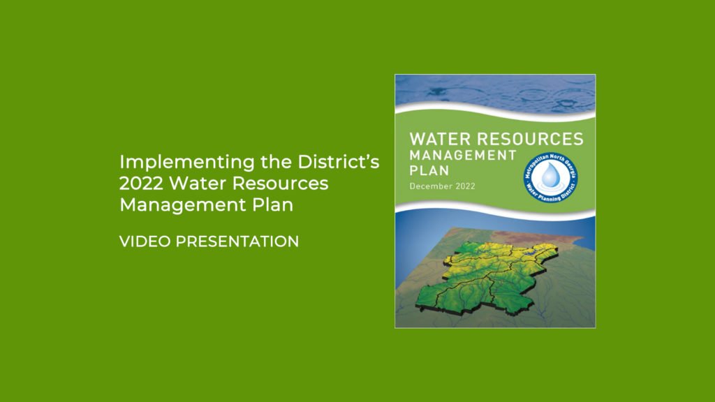
2022 Water Resources Management Plan
Implementation Resources
By Action Item
Integrated Action Items
- Integrated-1: Assistance with local government coordination meetings
- Integrated-4: Primer for Municipal Wastewater Treatment Systems
- Integrated-7: Additional Buffers in Small Water Supply Watersheds
- Integrated-10: Septic System Septage Disposal Resources
Water Supply & Conservation Action Items
- WSWC-4: Private Fire Lines Metering
- WSWC-6: Administration of the Single-Family Toilet Rebate Program and Multi-Family Toilet Rebate Program
- WSWC-8: Metro Water District-Water Efficiency Code Requirements and Frequently Asked Questions
- WSWC-12: New Car Washes to Recycle Water
- WSWC-13: Local Drought Response and Water Waste
- WSWC-14: Georgia Water System Audits and Water Loss Control Manual and AWWA Water Loss Control
Wastewater Action Items
- Wastewater-7: Southeastern F.O.G. Alliance
Watershed Action Items
- Watershed-1: Post-Construction Stormwater Management
- Watershed-3: Floodplain Management and Floodplain Damage Prevention
- Watershed-4: Stream Buffer Protection
- Watershed-5: Illicit Discharge and Illegal Connection
- Watershed-6: Litter Control
Education & Awareness Action Items
- Public Education-1: Education & Awareness materials to support Integrated-11, WSWC-16, Wastewater-10, and Watershed-12.
- Materials Distribution Policy
- Education & Public Awareness Material Request Form
- Assistance in developing educational programs
Educational Materials
Link to Catalog and Material Request Form of District produced high-quality educational resources on topics related to water conservation, stormwater management, and watershed protection.
Model Codes & Ordinances
The following Model Ordinances, guidance documents, FAQs, clarifying memos, and instructional videos support the development of regional and watershed plans and actions to protect water quality, public water supplies, and recreational values, and to minimize potential adverse impacts of development on waters in and downstream of the region.
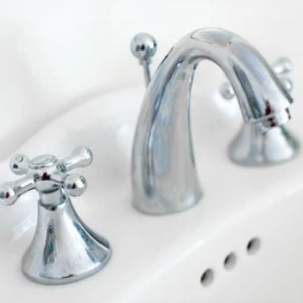
Metro Water District Water Efficiency Code Requirements (WSWC-8)
The Metro Water District’s Water Efficiency Code Requirements incorporate leading water-efficient products and technologies with wide-ranging in-store availability. These requirements apply to new construction and newly renovated residential properties within the District region.
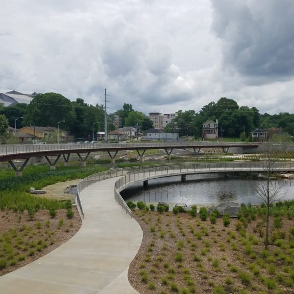
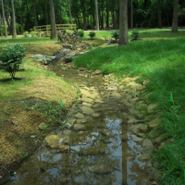
Post-Construction Stormwater Management (Watershed-1)
Model ordinance along with supplemental materials and actions by jurisdictions provides a mechanism for effective stormwater management of new development and redevelopment. The model ordinance matches the substance and language of current Georgia Environmental Protection Division Municipal Separate Storm System (MS4) permit and Georgia Stormwater Management Manual (GSMM) and includes minimum design and development standards for local development as it affects stormwater runoff.
- Model Ordinance and Adoption Guidance Document
- Overview Video of Model Ordinance and guidance document
- Model Ordinance Municode Compatible Word Document
- Policy on Practicability Analysis for Runoff Reduction
- District Guidance About Designs That Embed Post-Construction Stormwater Best Management Practices Within Each Other
Other Existing Model Ordinances
Other model ordinances that were adopted as part of previous versions of the District Water Resources Management Plan (prior to 2022) and are still relevant to the most current Plan.
- Floodplain Management and Floodplain Damage Prevention (Watershed-3)
- Stream Buffer Protection (Watershed-4)
- Illicit Discharge and Illegal Connection (Watershed-5)
- Litter Control (Watershed-6)
Stormwater Forecast Tool
The Stormwater Forecast Script Tool provides users with an automated calculation method for calculating custom stormwater runoff volumes within an area of interest using the District Stormwater Forecast. The Stormwater Forecast is a planning-level estimate of the total potential storage volume required by Stormwater Control Measures to manage runoff from development at a basin scale under both current and future conditions.
GPB Virtual Learning Journey: Georgia Water
Developed in partnership with Georgia Public Broadcasting, the Georgia Water Virtual Learning Journey takes students on an interactive experience of all things water. Users will discover where our water comes from, how wastewater is treated, the impact of weather events on Georgia, how to conserve and protect water resources, explore a number of career opportunities in the water industry, and so much more. Designed for students in grades 3-8 and aligned to the Georgia Standards of Excellence, this virtual learning journey presents key concepts through engaging videos, virtual reality, interactive maps and graphics, photo galleries, and informative text. Lesson plans, vocabulary, and fun student activities are also provided to support teachers and enhance learning.
Digital River Basin Profiles
An interactive tool for exploring the nine watersheds within the Metropolitan North Georgia Water Planning District, it provides background information on physical & natural features, land cover & imperviousness, surface water management, and management issues & strategies.
Green Communities Program
The Green Communities Program is a voluntary sustainability certification program that helps local governments reduce their environmental impact through actionable measures.
Chattahoochee Corridor Plan
The plan establishes three sets of development standards that must be met in order to reduce the impact of development on the river: Vulnerability Standards, Buffer Zone Standards, and Floodplain Standards.